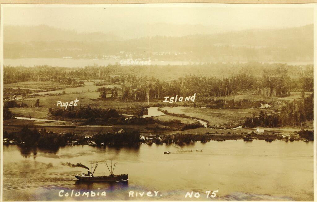
Diking District #1 was formed in 1914 to protect property from flooding on Puget Island and Little Island. Basic construction of the levee was completed in 1917. In response to wave erosion to the original levee structure, the 1936 Flood Control Act authorized the US Army Corps of Engineers to raise and strengthen the existing levees. The federal construction was completed in 1939.
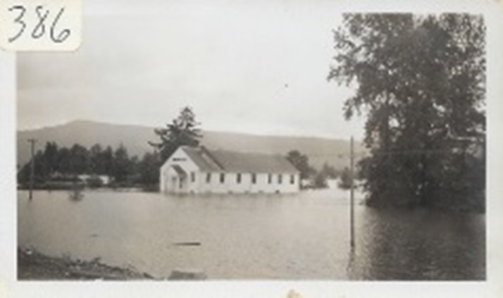
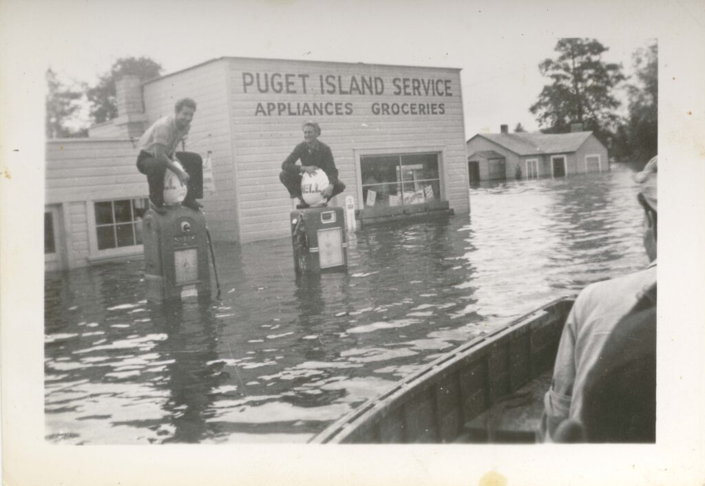
On June 8, 1948, the Puget Island levee broke on the upstream end of the levee system due to excessive high water from spring runoff and a ruptured waterline located within the levee prism. As a result, all of Puget Island was inundated with water. The Corps of Engineers repaired the break in the levee as well as reinforced the levee by filling a mile of open borrow ditch with dredge spoils.
In 1951, Diking District #1 and Diking District #3 were consolidated resulting in the district’s current boundaries and name. Diking District #3 was the western most end of Puget Island. The districts were separated by what today is referred to as the Cossdike.
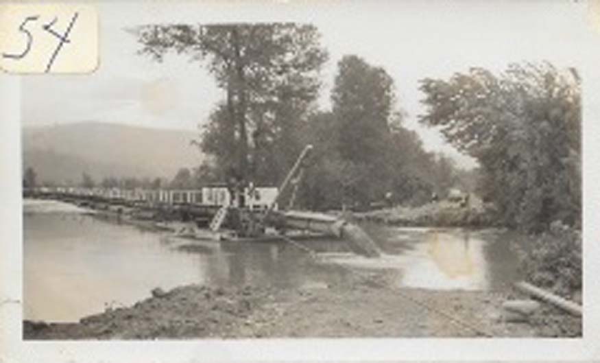
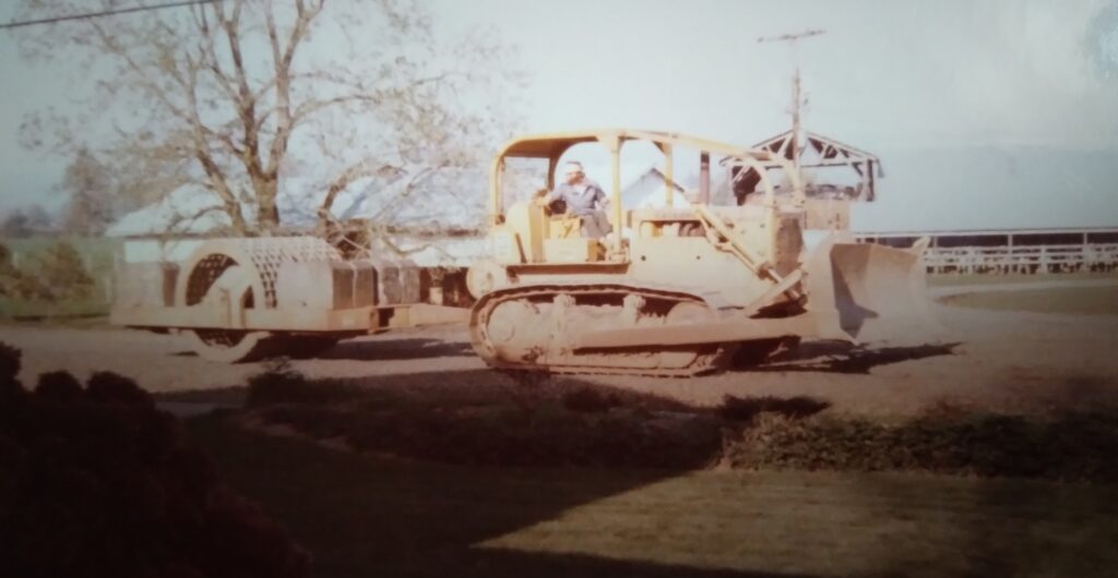
In the 1950s, The Wahkiakum County Soil and Water Conservation District sponsored the construction of pumping stations. The conservation district also dredged sloughs and dug ditches to enhance drainage. During this time, the Corps of Engineers continued to strengthen the levee systems through riprap placement and further filling borrow ditches with dredge spoils.
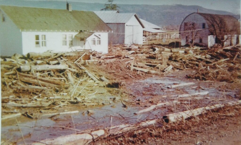
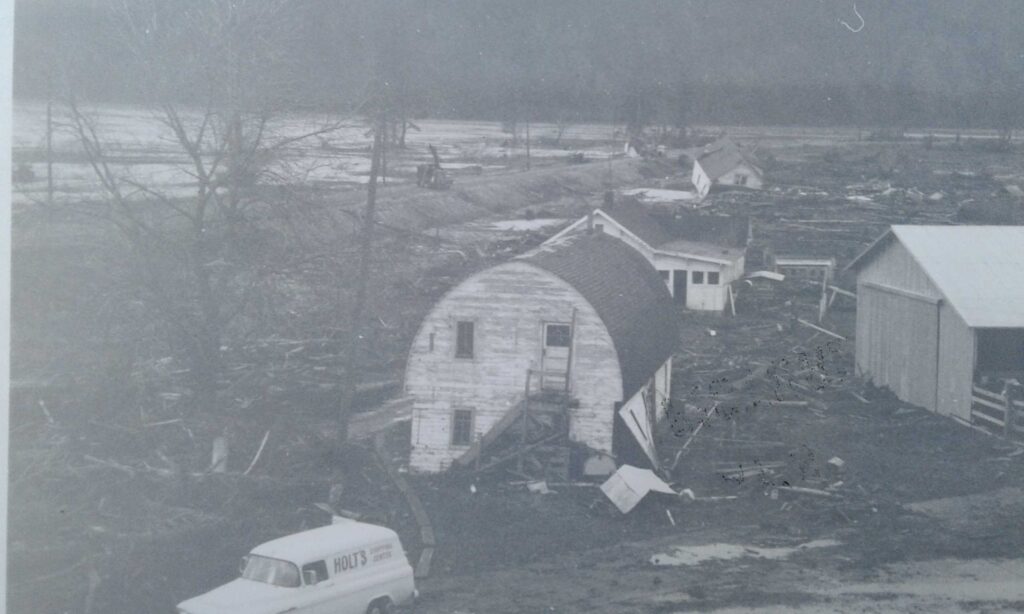
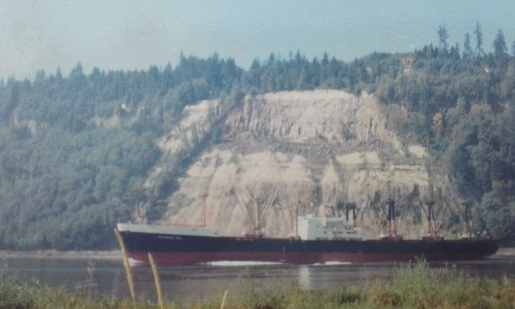
On the evening of January 30, 1965, a massive landslide occurred along the Oregon shore just west of Bradley State Park. This slide created a tsunami wave in the Columbia River which overtopped the Puget Island levee near the Bonneville Tower location. Damage amounted to washed embankment fill and dislocation of riprap. However, the levee was not breached. Repairs and fortification to the levee system were completed by August 1965.
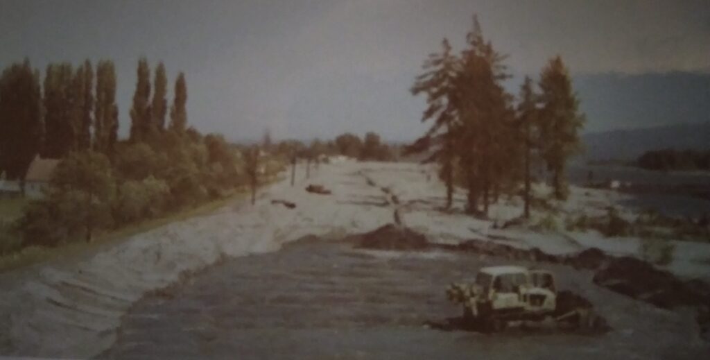
In 1975, The Corps of Engineers was authorized by Congress to improve Consolidated Diking District #1’s infrastructure throughout the entire levee system. The improvements consisted of raising and strengthening the levees and filling borrow pit ditches of Puget Island and Little Island. The Corps also replaced three existing pump stations and constructed a new pump station on Puget Island. This project also removed nine tide boxes and added a new drainage structure on Little Island. The project was completed in 1977. It should be noted that the water line was removed from the levee prism and placed landward in the district’s right-of-way during this improvement project. These improvements are what make up the majority of the district’s current day infrastructure.
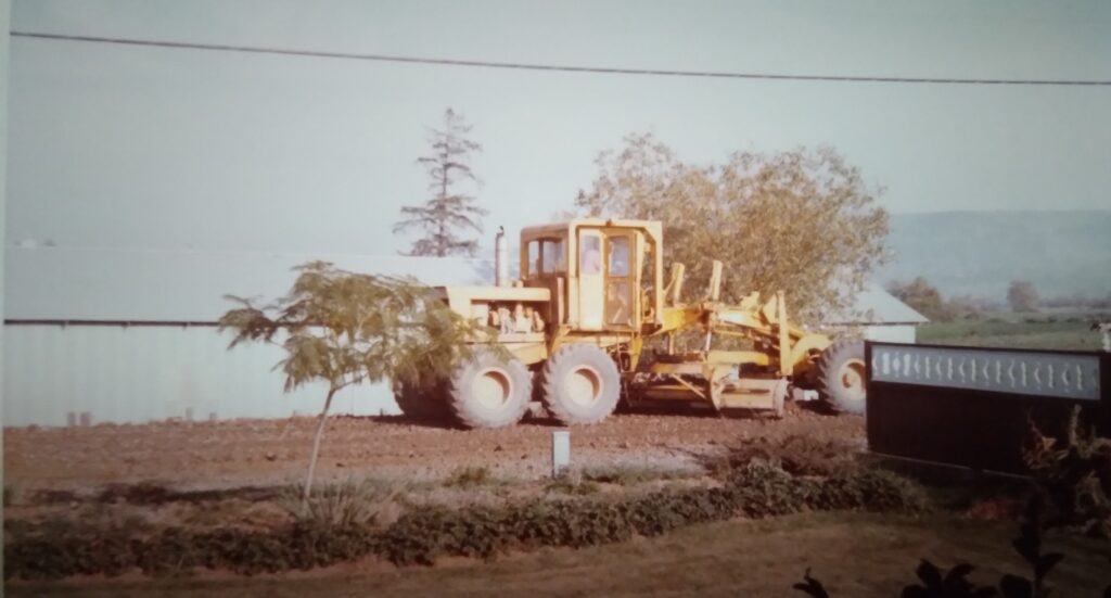
In 1987, a wing dike was added near the Duncan Slough pump station to combat erosion. Then in 2001, the Diking District constructed a new pump station at Forbes Slough on Little Island. In recent years, the district has been rebuilding pumps and pump motors, replacing outflow pipes at pump stations, and enhancing drainage.